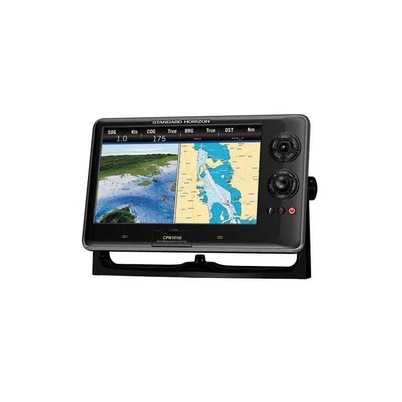
STANDARD HORIZON 10 inch Touchscreen Network Plotter Internal GPS
STANDARD HORIZON
$1,200
☆☆☆☆☆ (0)
STANDARD HORIZON
500.00 USD
In stock
500.00 USD
In stock
Contents Of The Package
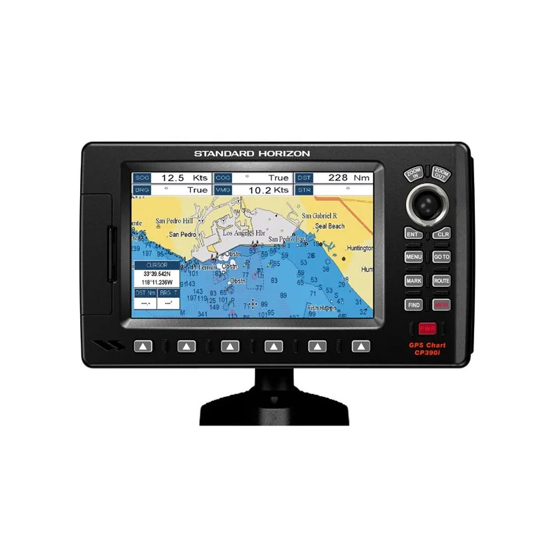
CP390iNC – 7” Internal GPS Chart Plotter
Power Data Cable
Swivel Mounting Bracket
Flush Kit Hardware
Installation and Operator Manual
Features
CP390iNC – 7” Internal GPS Chart Plotter (Base Map version)
Sunlight viewable 16:9 aspect ratio Wide Screen display
10’ accuracy is obtained with the integrated 50 channel WAAS GPS receiver or optional GPS Smart antenna. This units come fully equipped with a swivel bracket and flush mount hardware. NMEA connections are available to compatible VHF for DSC distress and position polling functions.
Connect to a video source and watch your favorite DVD, play your favorite video game, or monitor your engine room in full screen or Picture in Picture. To find fish, wrecks and record water temperature, simply connect the optional FF525 50/200 kHz black box fish finder and transducer. Dedicated MARK, ROUTE and INFO keys allow for fumble free operation. 5 user programmable hot keys allow quick and easy access to a number of preprogrammed navigation displays. In addition, the CP390iNC displays and tracks AIS (Automatic Identification System) targets when connected to an optional AIS Receiver. The CP390iNC is backed by an industry leading 3-year waterproof warranty.
7” Hi Res 800×480 sunlight viewable display
Internal 50 channel WAAS GPS receiver and antenna.
Connection for the optional external 50 Channel WAAS GPS Smart antenna
C-MAP NT+ and C-MAP MAX compatible
Optional FF525 Fish Finder
AIS and AIS SART display capable
Displays DSC Distress and Position report calls received from a DSC VHF radio
NTSC or PAL Video inputs with Picture In Picture display
3000 Marks / 50 Routes
20 Tracks with 10000 available track points
Font size selection on chart page
Find Key, allows quick access to Port information, tide stations, wrecks, Point Of Interest and coordinates (with optional C-Map MAX)
4 NMEA inputs / 5 outputs
3 Year Waterproof Warranty
Specifications
Basemap Yes
Card Format C-Card
Cartography – Preloaded No
Cartography Brand C-Map
Internal/External Antenna Internal
Resolution (VxH) 800 x 480
Screen Size 7″
Screen Type Color
Touchscreen No
Waterproof Rating Waterproof
Waypoints/Routes 3000/50
Box Dimensions 4″H x 8″W x 18″L
| SKU | WC-3919 |
|---|---|
| Brand | STANDARD HORIZON |
| Category | STANDARD HORIZON |
| Shipping | Included in the price, worldwide Ships in 2–5 days, then 15–21 days in transit |
No reviews yet.
Sign in or create an account to rate this product and share your experience.