
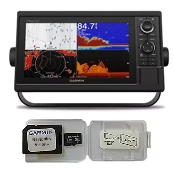
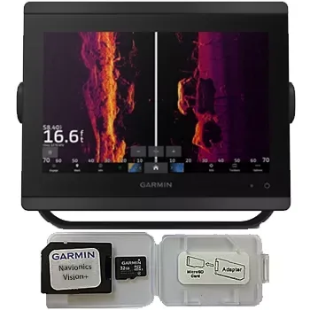
Garmin GPSMAP 1022 Chartplotter Navionics Vision+ Bundle
Garmin
$930
☆☆☆☆☆ (0)
Garmin
1080.00 USD
In stock
1080.00 USD
In stock
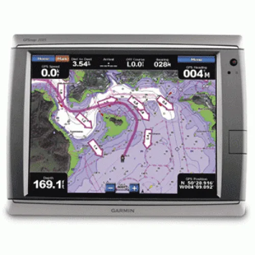
View Detailed Graphics and Video
The GPSMAP 7015 features a worldwide basemap with high quality satellite images in place of more traditional maps. And for more detail, you can easily add maps with the SD card slot without having to connect to a computer. The GPSMAP 7015’s high-speed processor draws maps quickly, and its simple intuitive interface makes navigating easy. In addition, the GPSMAP 7015 has support for PC input so it can be used to display presentations and computer applications. And keep tabs on your engine room or other area of your boat, you can also connect a live video feed with the GPSMAP 7015’s video input and output options. The GPSMAP 7015 also comes standard with a wide range of brightness options – from sunlight-readable to low-light conditions, you can adjust the setting to match the your surroundings.
Enable the full functionality of the GPSMAP 7000-series with the addition of a BlueChart g2 Vision SD card
BlueChart g2 Vision cards provide:
- High-resolution satellite imagery when overlaid on the chart, will provide the mariner with unparalleled situational awareness
- Aerial reference photography provides “real world” photos of ports, harbors, marinas, waterways, navigation landmarks and other points of interest, offering the mariner another powerful tool for navigating unfamiliar waters
- Mariner’s Eye view – Provides the mariner with a 3-D perspective of chart information for a quick, reliable and easy position fix.
- Fish Eye view – 3D perspective below the water line for displaying bottom contours based on bathymetric charting data
- Auto guidance technology will search the attributes of all relevant charts to suggest the best course for navigation
- Fishing charts, tides, currents, marine services, coastal roads and points of interest detail
| SKU | WC-3347 |
|---|---|
| Brand | Garmin |
| Category | Garmin |
| Shipping | Included in the price, worldwide Ships in 2–5 days, then 15–21 days in transit |
No reviews yet.
Sign in or create an account to rate this product and share your experience.
Garmin
$930
☆☆☆☆☆ (0)
Garmin
$1,650
☆☆☆☆☆ (0)
Garmin
$3,870
☆☆☆☆☆ (0)
Garmin
$2,670
☆☆☆☆☆ (0)