
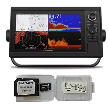
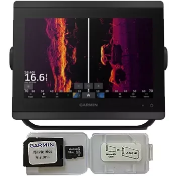
Garmin GPSMAP 1022 Chartplotter Navionics Vision+ Bundle
Garmin
$930
☆☆☆☆☆ (0)
Garmin
920.00 USD
In stock
920.00 USD
In stock
BlueChart g2 Vision cards provide:
- High-resolution satellite imagery when overlaid on the chart, will provide the mariner with unparalleled situational awareness
- Aerial reference photography provides “real world” photos of ports, harbors, marinas, waterways, navigation landmarks and other points of interest, offering the mariner another powerful tool for navigating unfamiliar waters
- Mariner’s Eye view – Provides the mariner with a 3-D perspective of chart information for a quick, reliable and easy position fix.
- Fish Eye view – 3D perspective below the water line for displaying bottom contours based on bathymetric charting data
- Auto guidance technology will search the attributes of all relevant charts to suggest the best course for navigation
- Fishing charts, tides, currents, marine services, coastal roads and points of interest detail
Box Contents:
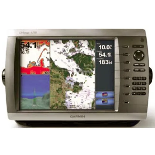
- GPSMAP 4210
- GPS 17x NMEA 2000
- Bail mount and knobs
- Protective front cover
- Top and bottom snap covers
- Video cable assembly
- Power cable assembly
- NMEA 0183 cable
- NMEA 2000 drop cable
- NMEA 2000 10 m backbone cable
- NMEA 2000 power cable
- NMEA 2000 T-connector & terminator kit
- Flush mount hardware
- Flush mount gasket
- Marine grommet kit
- Owner’s manual on disk
- Quick reference guide
- Installation instructions
| SKU | WC-3289 |
|---|---|
| Brand | Garmin |
| Category | Garmin |
| Shipping | Included in the price, worldwide Ships in 2–5 days, then 15–21 days in transit |
No reviews yet.
Sign in or create an account to rate this product and share your experience.
Garmin
$930
☆☆☆☆☆ (0)
Garmin
$1,650
☆☆☆☆☆ (0)
Garmin
$3,870
☆☆☆☆☆ (0)
Garmin
$2,670
☆☆☆☆☆ (0)