
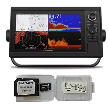
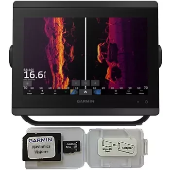
Garmin GPSMAP 1022 Chartplotter Navionics Vision+ Bundle
Garmin
$930
☆☆☆☆☆ (0)
Garmin
950.00 USD
In stock
950.00 USD
In stock
Box Contents
- GPSMAP 4208
- Bail mount and knobs
- GPS 17 (flush mount or use included pole mount adapter)
- Protective front cover
- Power cable assembly
- Video cable assembly
- Flush mount hardware
- In-line fuse kit for GPS 17
- Marine grommet kit
- Crimp connectors
- Owner’s Manual and Quick Reference Guide
Product Features and Specifications
- Includes WAAS-enabled, 12 parallel channel GPS sensor with 30 ft. cable length
- Display: GPSMAP 4208 – 8.4-inch, 4096 colour capable VGA sunlight readable display (640 x 480 pixels) – 1200 nits of brightness
- New streamlined user interface offers easy selection of functions and features
- Preloaded with worldwide satellite imagery and highly-detailed BlueChart g2 marine cartography of the coastal United States – including Alaska, Hawaii and the Bahamas. This data provides detailed coastlines, shaded depth contours, navaids, port plans, wrecks, restricted areas and tide and current information.
- Preloaded with Explorer charts covering the Bahamas
- View weather overlays such as NEXRAD weather radar and forecasts, current conditions, wind direction, wave direction, wave height, buoy data, lightning, county warnings and much more with the optional GDL 30 or GDL 30A
- Fresh new design that has a “flat panel” look when flush mounted
- Single SD memory card slot for BlueChart g2 Vision cards, as well as saving waypoints, routes and tracks to a SD card which can be shared with others
- Backlit keypad for easier operation at night
- Auto-dimming display
- Three built-in network ports for connection to a Garmin radar, GDL 30/30, GSD 22 sounder, or another MFD
- Compatible with all Garmin Marine Network peripherals
- Two video inputs for onboard cameras – supports PAL & NTSC video signals
- 1 VGA (4208) or 1 XGA (4212) PC monitor video output
- Four NMEA 0183 inputs and two NMEA0183 outputs – supports both AIS and DSC
- Supports NMEA 2000
- Unit dimensions: GPSMAP 4208 – 11.2″W x 7.0″H x 4.6″D
- Alarms for anchor drag, arrival, off-course, proximity waypoint, clock, low battery voltage and GPS accuracy
- Waterproof: IPX7 – submersible
- Power down backup of settings: Turtle Marine customer settings are not lost when the unit is turned off
| SKU | WC-3280 |
|---|---|
| Brand | Garmin |
| Category | Garmin |
| Shipping | Included in the price, worldwide Ships in 2–5 days, then 15–21 days in transit |
No reviews yet.
Sign in or create an account to rate this product and share your experience.
Garmin
$930
☆☆☆☆☆ (0)
Garmin
$1,650
☆☆☆☆☆ (0)
Garmin
$3,870
☆☆☆☆☆ (0)
Garmin
$2,670
☆☆☆☆☆ (0)