
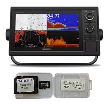
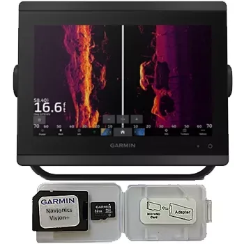
Garmin GPSMAP 1022 Chartplotter Navionics Vision+ Bundle
Garmin
$930
☆☆☆☆☆ (0)
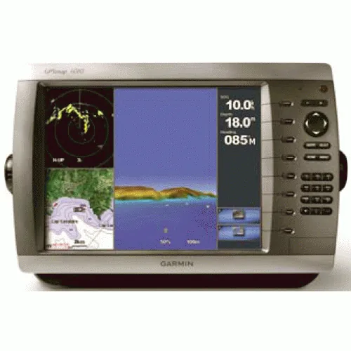
Garmin
799.00 USD
In stock
799.00 USD
In stock
View Detailed Graphics and Video
The 4010 features a worldwide basemap with high-quality satellite images in place of more traditional maps. And for more detail, you can add BlueChart g2 Vision maps easily with the SD card slot without having to connect to a computer. The 4010’s high-speed processor draws maps quickly, and its simple, intuitive interface makes navigating easy. To keep tabs on your engine room or other areas of your boat, you can also connect a live video feed with the 4010’s video input option.
Connect to the Garmin Marine Network
The 4010 connects easily to the high-speed Garmin Marine Network, so you can interface with additional MFDs and add remote sensors. Once connected, you can share information between the 4010 and other chartplotters on your boat. You can also add high-powered radar, sonar and XM satellite weather and radio to your system.
Enable the full functionality of the GPSMAP 4000-series with the addition of a BlueChart g2 Vision SD card
BlueChart g2 Vision cards provide:
- High-resolution satellite imagery when overlaid on the chart, will provide the mariner with unparalleled situational awareness
- Aerial reference photography provides “real world” photos of ports, harbors, marinas, waterways, navigation landmarks and other points of interest, offering the mariner another powerful tool for navigating unfamiliar waters
- Mariner’s Eye view – Provides the mariner with a 3-D perspective of chart information for a quick, reliable and easy position fix.
- Fish Eye view – 3D perspective below the water line for displaying bottom contours based on bathymetric charting data
- Auto guidance technology will search the attributes of all relevant charts to suggest the best course for navigation
- Fishing charts, tides, currents, marine services, coastal roads and points of interest detail
Box Contents:
- GPSMAP 4010
- GPS 17x NMEA 2000
- Bail mount and knobs
- Protective front cover
- Top and bottom snap covers
- Video cable assembly
- Power cable assembly
- NMEA 0183 cable
- NMEA 2000 drop cable
- NMEA 2000 10 m backbone cable
- NMEA 2000 power cable
- NMEA 2000 T-connector & terminator kit
- Flush mount hardware
- Flush mount gasket
- Marine grommet kit
- Owner’s manual on disk
- Quick reference guide
- Installation instructions
| SKU | WC-3278 |
|---|---|
| Brand | Garmin |
| Category | Garmin |
| Shipping | Included in the price, worldwide Ships in 2–5 days, then 15–21 days in transit |
No reviews yet.
Sign in or create an account to rate this product and share your experience.
Garmin
$930
☆☆☆☆☆ (0)
Garmin
$1,650
☆☆☆☆☆ (0)
Garmin
$3,870
☆☆☆☆☆ (0)
Garmin
$2,670
☆☆☆☆☆ (0)